
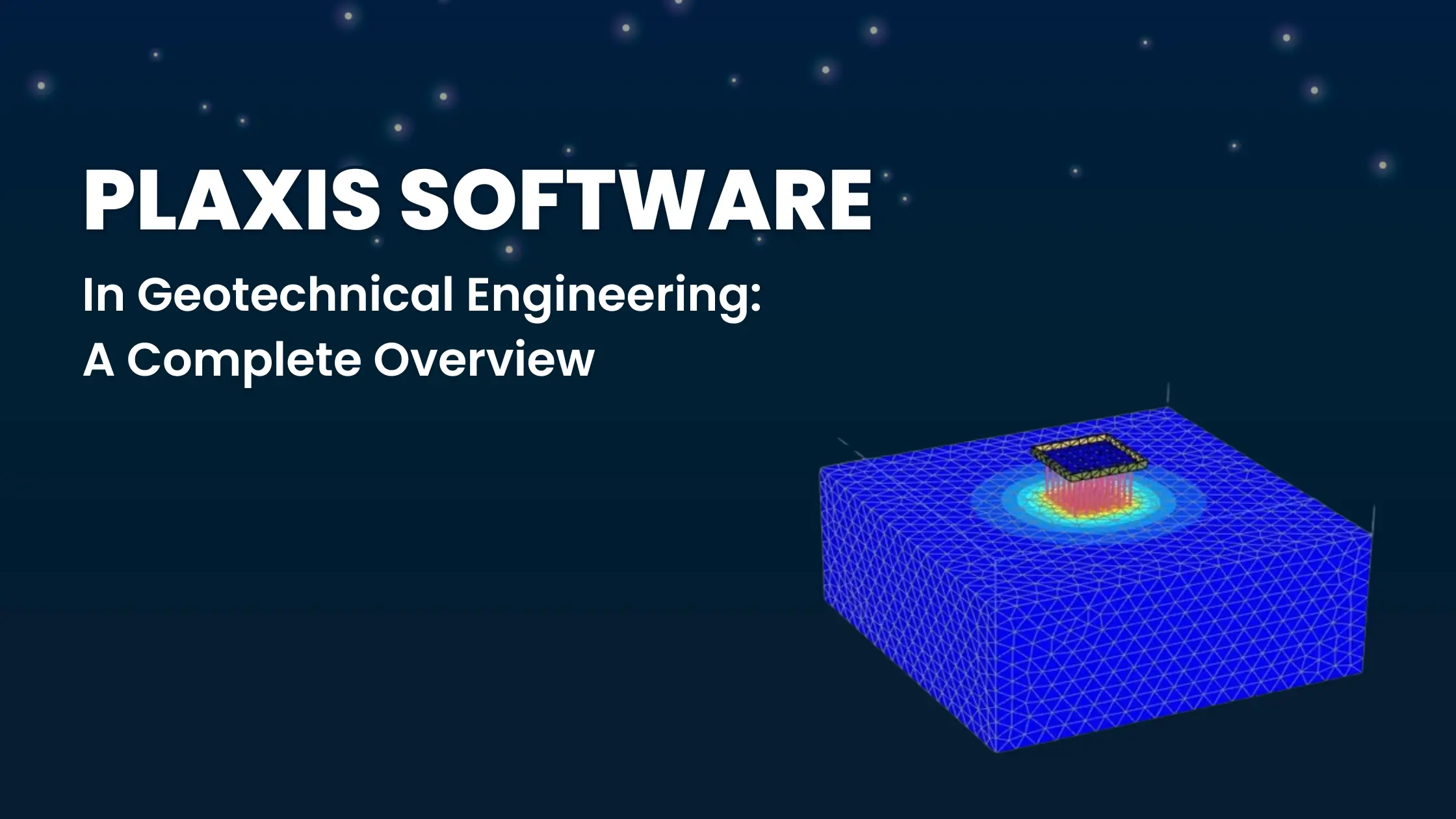
Introduction to PLAXIS
PLAXIS is a finite-element software package designed to be used in geotechnical engineering, enabling the analysis of deformation, stability, and groundwater flow in soil and rock.
The origins of PLAXIS trace back to 1980, when it was first developed by researchers at Delft University of Technology in the Netherlands.
What began as an academic tool to help geotechnical research has now evidently grown into an industry-standard software, used worldwide for tunnelling, foundation design, slope stability, and groundwater analysis.
There has been continuous evolution in PLAXIS, which reflects how cutting-edge research has been transformed into practical solutions, bridging the gap between theory and real-world engineering challenges.
Why use PLAXIS Software?

The PLAXIS software has been used by students, groups, communities, and organisations to understand the characteristics, nature, and stability of the soil structure.
Geotechnical students from the engineering field use the PLAXIS software to learn and demonstrate their project work on soil, rock mechanics, soil behaviours, slope, stability, foundation level, and construction techniques.
Meanwhile, professionals in the same field use PLAXIS software to study the foundation of soil, earthwork analysis, tunnelling, landfills, design works, and assess the overall soil slope and stability.
Importance of PLAXIS in Geotechnical Engineering
Accuracy in detail
PLAXIS software uses finite element methods that assist in providing more reliable and responsive predictions about how soils and rocks will react under certain conditions, like loading, excavation, seepage, earthquake loads, etc.
Assist in managing complex scenarios
PLAXIS is a software that assists in managing complex non-linear soil behavior when it comes to interaction with groundwater, time effects, and dynamic loading, as PLAXIS supports the modelling of such challenges while making it reliable and valuable for advanced projects ahead.
Safety and security assistance
PLAXIS software helps in early detection of potential failure, which allows mitigation before construction begins, thus reducing the risks, cost overruns, and other safety hazards.
Cost efficient
Another benefit, or say advantage, of using PLAXIS software is that it helps engineers to design more accurately while managing to save money on materials. In traditional times, engineers used to add more steel and concrete material than was required, which is often termed as oversizing or overdesigning.
With PLAXIS, the software helps provide detailed analysis of the soil, rock, and structural health.
Research and education
The importance of PLAXIS software often lies in the study of universities and research institutions. Students from civil and geotechnical engineering backgrounds often use this software to study concepts like soil mechanics, rock mechanics, and groundwater behaviour in a practical way.
So students prefer to study the software practically rather than going and reading textbooks or theories on the same. With this approach, they often discover new ways and methods to test the designs, improve existing designs, and explore many innovative techniques. Thus, PLAXIS software assists in bridging the gap between theoretical and practical knowledge.
Read more: Top Best PLAXIS Software Training Courses
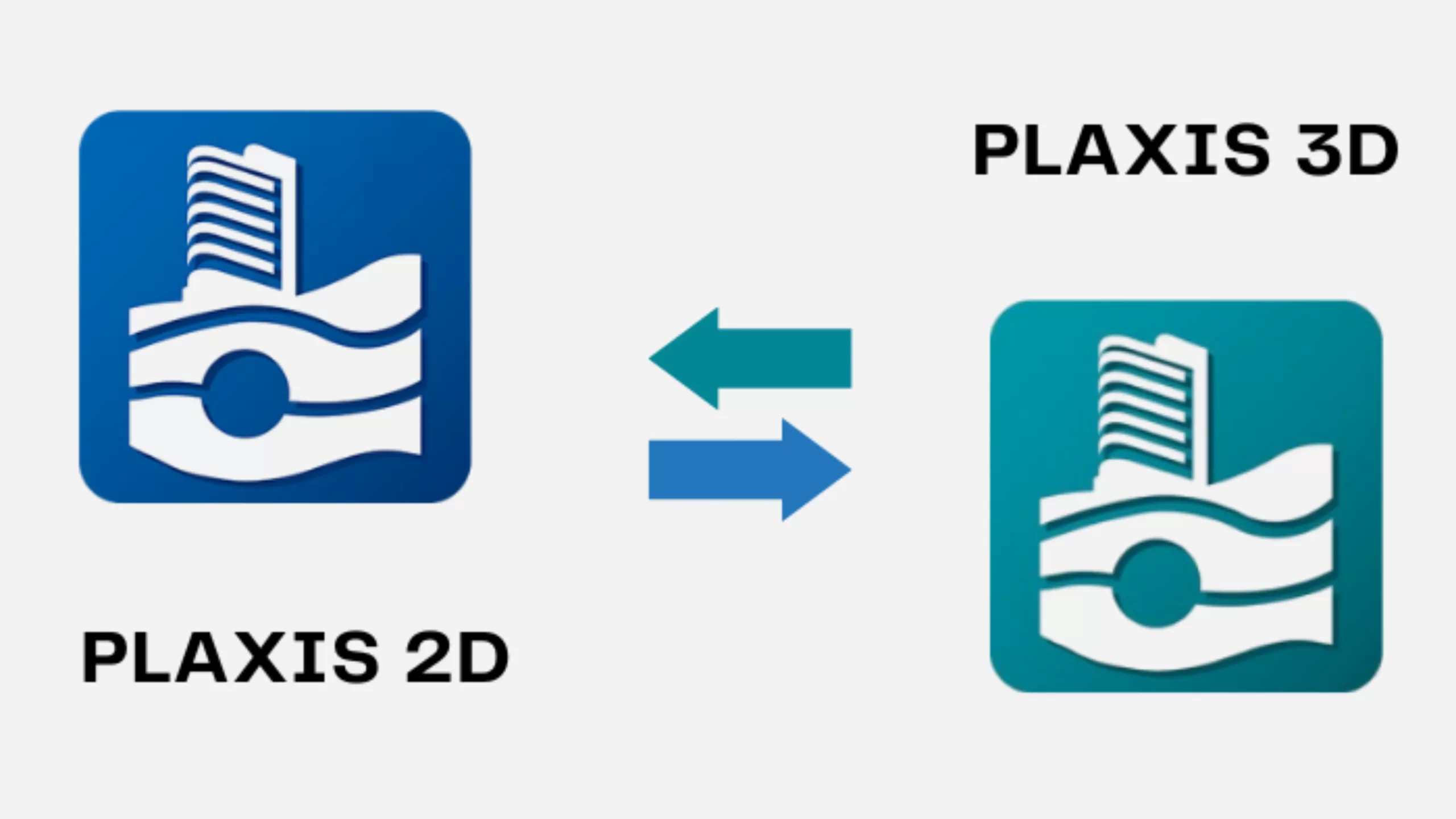
What is PLAXIS 2D?

PLAXIS 2D is used when the project can be represented in a more cross–sectional view, such as when a structure can extend uniformly in one single direction, like a long retaining wall or a straight tunnel. It is basically a 2D model, which is often sufficient.
Features of PLAXIS 2D
- PLAXIS 2D is used to study the conditions of rock and soil. This further helps in predicting problems like settlement, sliding, or failure before actual construction begins.
- PLAXIS 2D is trusted by geotechnical engineers for analyzing excavations, embankments, foundations, tunnels, and much more.
- PLAXIS 2D accurately models the ground–structure interaction and dewatering process through advanced soil and rock material models, structural elements, and considers flow analysis.
What is PLAXIS 3D?

PLAXIS 3D is a more advanced geotechnical engineering software that is being used to analyse soil and rock behaviour in three dimensions. As we know, while PLAXIS 2D is known best for uniform conditions, there are instances where certain situations are complex and require deeper learning, so to simplify such situations, PLAXIS 3D is used.
Features of PLAXIS 3D
- The prominent difference between PLAXIS 3D and PLAXIS 2D is that it tries to study or handle situations that are irregular or spread across multiple directions, like in groups, piles, complex excavations, rafts, tunnels that have junctions and curves, or any offshore foundations like the monopiles.
- PLAXIS 3D is used to stimulate the same geotechnical processes which is been used under PLAXIS 2D, such as groundwater flow, heat transfer, dynamic loading, deformation, settlement, etc
- PLAXIS 3D assists engineers in viewing things properly, such as pore water pressure, plastic zones in models, or any stress distributions, to make things appear easy to interpret and understand.
Difference between PLAXIS 2D and PLAXIS 3D
| Key Difference | PLAXIS 2D | PLAXIS 3D |
| Application | It is used to study slopes, retaining walls, tunnels with cross sections, etc | It is often used to study offshore monopiles, large-scale infrastructure, complex tunnel networks, etc. |
| Accuracy Level | Accurate enough to study projects that involve geometry. | Accurate enough to study complex projects where 3D effects play major roles |
| Interaction with soil structure | Helps in understanding stability, groundwater consolidation, and dynamic loading | Simulates the same conditions as those of 2D but with full 3D soil structure interaction with higher accuracy. |
| Speed levels | Easier and faster to set up. | Requires more time to start the setup |
| Geometry | Study soil uniformly and with the same conditions and structures, it is mainly best for symmetrical problems | Used to study complex geometries with irregularities and non-symmetrical structures. |
Applications of PLAXIS in Geotechnical Engineering
PLAXIS has been used in geotechnical engineering for a long time to ease the challenges faced by engineers when performing geotechnical projects.
PLAXIS is regarded as one of the leading simulation software packages in geotechnical engineering, which has been specially developed for the deformation analysis of soils and rocks. PLAXIS contains geometry creation tools and automated settings that help engineers to analyze the various complex issues faced during the geotechnical process.
Applications of PLAXIS in Geotechnical Engineering
- PLAXIS is used to analyse the conditions of soil behaviour, whether weak or fertile.
- Assist in predicting the deformation and load-bearing capacity to ensure safe and efficient foundation designs.
- Studies and evaluates the safety and stability of natural and man-made slopes to eliminate any landslides and failures.
- Assess the soil strength, groundwater conditions, and seismic loads on slope stability.
- Simulates earth pressures, support structures, and stability at different phases of tunnel building
- Helps in understanding the interaction between tunnels and surrounding soil to optimise support designs.
- Studies how structural loading affects the soil behaviour and vice versa to enhance the design accuracy level.
- Works to analyse the water flow through soils and rock masses, which is necessary for assessing the groundwater influence on geotechnical stability.
Advantages of PLAXIS
- PLAXIS supports in understanding hydrological influences on geotechnical problems
- Assist in supporting and managing the soil and rock model for realistic materials behaviour representation.
- Comes with a user-friendly graphical interface, which simplifies the process of model steps and makes the easy interpretation of results
- PLAXIS is a suite of software solutions for geotechnical analysis. It has the extensive capability to understand both standard and complex geotechnical challenges present in soil and rock, as well as conduct analyses on excavations, foundations, tunnels, and other infrastructure projects to identify issues. PLAXIS is designed to study all types of projects related to geotechnical aspects.
Conclusion
PLAXIS is designed to enhance project safety, plus it also drives innovation in geotechnical solutions. From academic research to infrastructural projects, PLAXIS helps in predicting deformation and groundwater levels. PLAXIS 2D is used to study uniform soil conditions, and PLAXIS 3D helps to study complex soil conditions. It is one of the essential tools in geotechnical engineering.
Now take your career to the next level with Pigso Learning’s expert-led PLAXIS Training Course Online. Gain hands-on experience, earn industry-recognised certifications, and unlock new opportunities in geotechnical engineering. Enrol now and stay ahead in your professional journey. Let us help you elevate your knowledge and learning with Pigso Learning.
Contact us to know more.

Mayank Panchal is the founder of PIGSO Learning. He has many years of experience in teaching, curriculum development, and instructional designer in civil engineering, Mathematics, and digital marketing space. His passion for conceptual and deep research-based learning helps to understand the subject in depth.